If you’re a walker or hiker, you will be spoilt for choice when staying in the Snowy Mountains of Australia. The Australian Alpine region is known for having some of the best hiking trails in all of Australia, and Jindabyne is at the heart of them all. Hiking in Jindabyne all year round is one of the most popular things for Sydneysiders and people from Canberra to do- and they flock there just to take in the stunning landscapes.
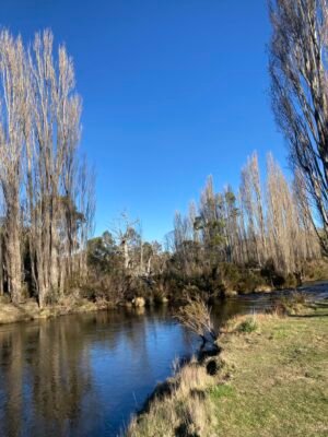
Hiking in and around the Snowy Mountains is a unique experience thanks to its diverse and stunning landscape. The region’s rivers, trees and mountains are so awe-inspiring they are often the subject of poetry and novels. Trust me- I lived there for five months and found an endless amount of inspiration every day when I sat down to write.
Here’s how you can enjoy Jindabyne and the Snowy Mountains on foot, all year round.

Where is Jindabyne Located?
If you have ever wanted to take a step away from the hustle and bustle of city life and holiday somewhere both stunning and remote, the Snowy Monaro Region is the perfect escape.
If you are unsure where it is, that’s probably because the Snowy Monaro is a quiet, laid back kind of place located in the southern region of New South Wales. It sits straddling the Victoria and ACT borders right in the heart of the Snowy Mountains.
The region is surprisingly quite large, covering over 15,000 square km and containing very few urban areas. Instead, it is full of rolling hills and mountain ranges, including the Kosciuszko National Park, home to Australia’s largest mountain, Mount Kosciuszko.
Although there are many other quaint, small towns scattered around the Snowy Monaro, Cooma and Jindabyne are the two main areas within the region, just one hour in driving distance from one another. From here, you’ll have a 5-6 hour drive to Sydney or 6-7 hour drive to Melbourne or a 1-2 hour drive from Canberra.
Jindabyne is often referred to as the gateway to the Snowy’s. Sitting at the base of the Kosciuszko National Park, the small town is the perfect place to stay if you are planning on tackling the slopes during winter.

Travelling to Jindabyne in winter? Check out my recent post: Your Jindabyne Winter Bucket list
How to Stay Safe Hiking in Jindabyne All Year Round?
If there’s one thing you need to remember when planning a hike in Jindabyne, it is that your choice of which hike to do is subject to the seasons. The type of hike you can do really does depend on the weather.
The Australian Alps may not be as high or steep as overseas mountain ranges, but the strong winds, rain and low temperatures can make our exposed alpine areas dangerous. Weather can change quickly so it is important to always be realistic about the current and approaching conditions as well as your own abilities.
I always recommend travelling with others and to make sure you tell someone where you’re going and when you’ll be back. If you are travelling alone (or even if you are with an experienced hiker) it is recommended you think about taking a Personal Locator Beacon as phone coverage in the park is patchy and cold can affect phone batteries. You can often hire these from a visitor centre or outdoor shop such as Wilderness Sports.

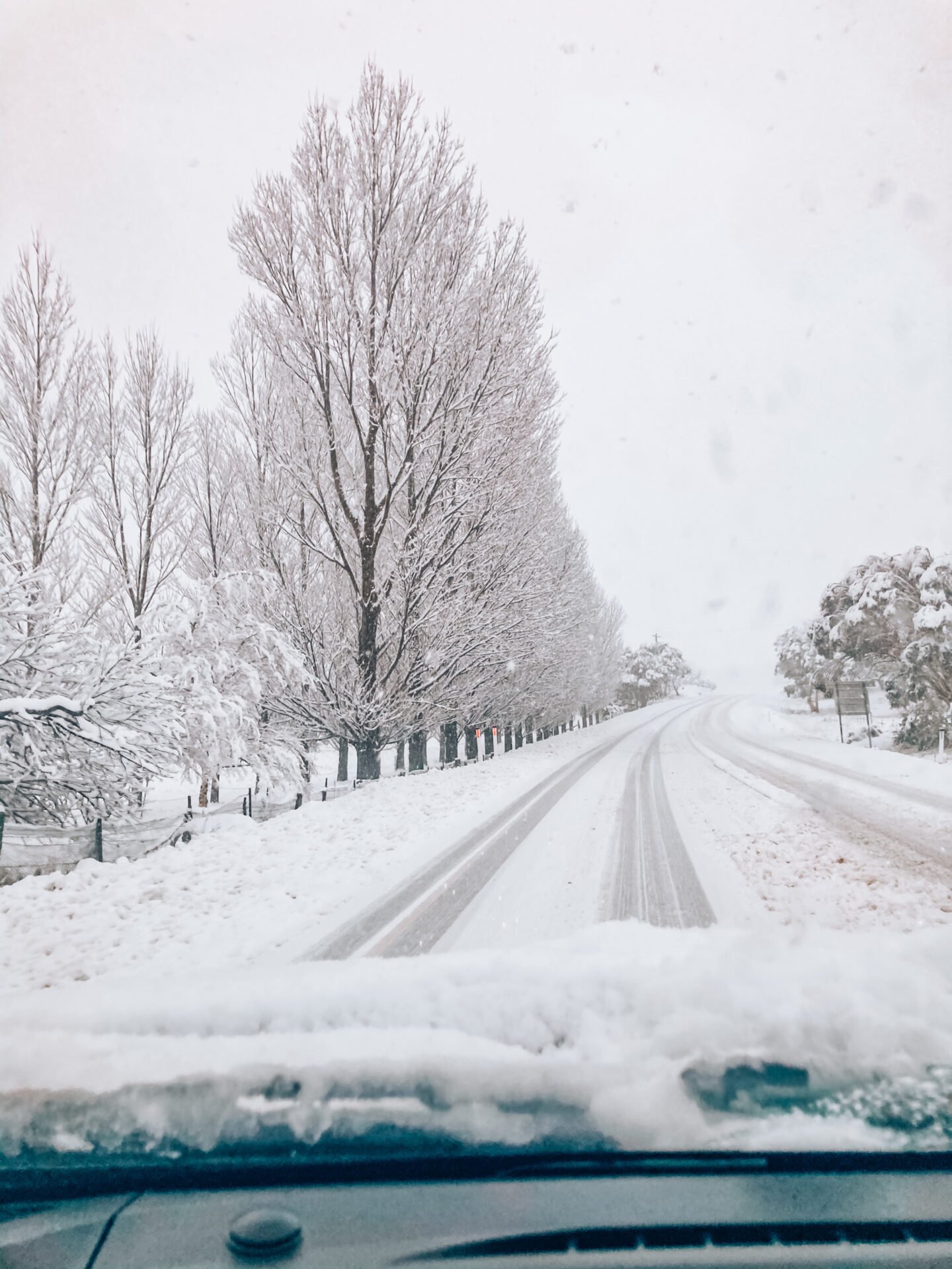
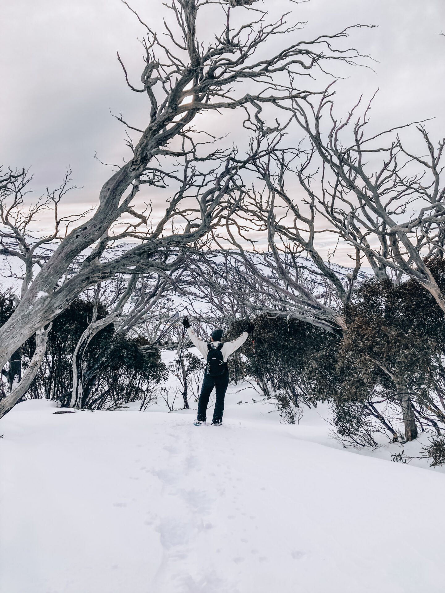
Most of the popular alpine trails are covered in snow for the large majority of the year- and even into summer- consuming many of the trails and making them near impossible to do. In winter, many of the trails are advised not to enter, and they are only to be taken with precaution, the right equipment, and proper clothing.
It is also recommended to always check the incoming weather before partaking in a hike- particularly if you are going to be hiking in the National Park, regardless of the season.
It is also important to always be prepared with a significant amount of water and food, regardless of the season. While Summer temperatures in Jindabyne can often be on the warm side and being prepared is very important, many of the trails in the region are rather long, and it is quite common that people get lost among them. Therefore, having food and drink on your person can certainly help you get out of a sticky situation if you happen to find yourself in one.
Ultimate Guide to Hiking in Jindabyne All Year Round
Sawpit Creek Waterfall Walk
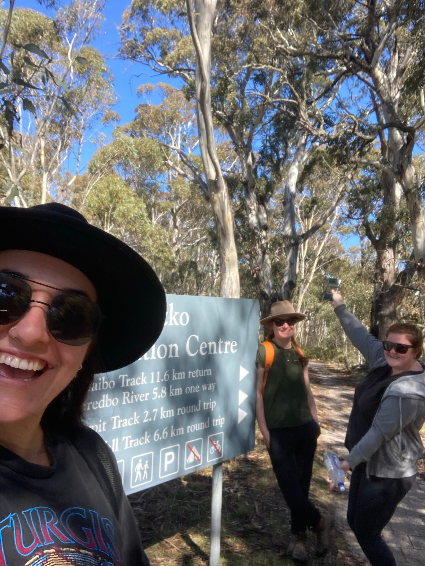
The Sawpit Creek Waterfall track is a grade 3 track around 6km long and located within the Kosciuszko National Park. The track starts at the Sawpit Creek picnic area (just past the National Park Information Centre on the drive up to Perisher Ski Resort) and passes through the culvert under the road.
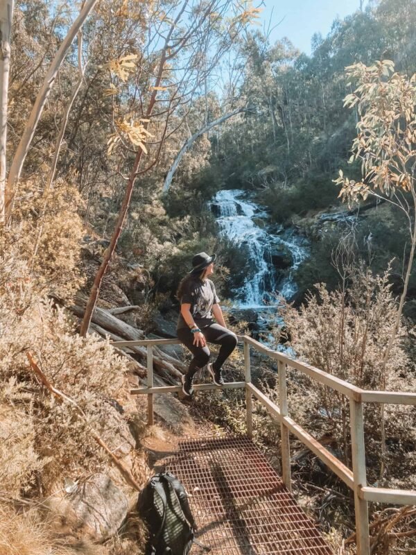
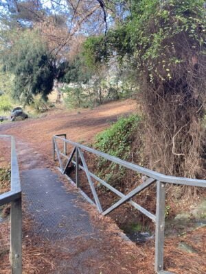
The walk is fairly easy, winding through the bush, parallel to Sawpit Creek. There are slight inclines to pass over on the walk, but it is all worth it when you reach the small waterfall at the end. While the waterfall is only visible from the platform area, it was nice to sit and have a small picnic lunch while listening to the trickle of the falls.
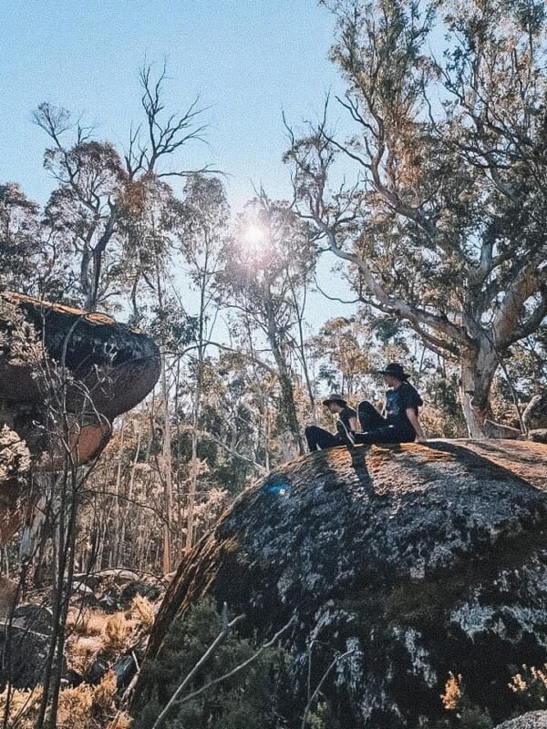
On the return, the track passes between huge granite boulders before returning to the picnic area. This section seemed to come out of nowhere and was a nice surprise, enabling us to view a unique part of the area’s history.
Hiking in Jindabyne All Year Round- Lake Jindabyne + Biking trails
One of the greatest things about visiting or living in Jindabyne is its huge emphasis on the outdoors. The area has virtually no shops or facilities (only the essentials) and so getting outside and exploring is one of the main things to do.
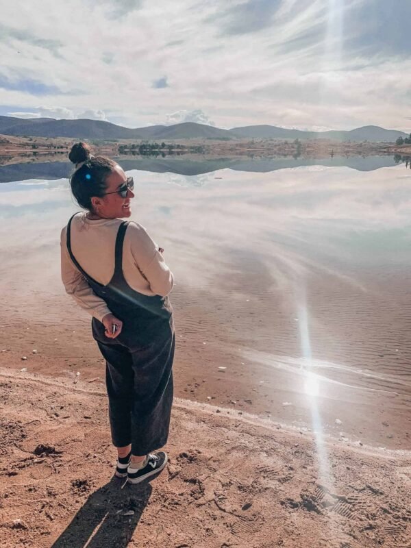
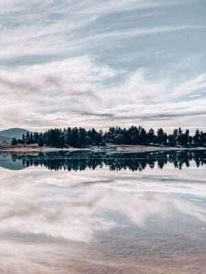
Jindabyne has a number of trails to get you started- or for anyone who is unable to take a longer hike, has children, is in a wheelchair, etc. The easiest walk to do is along the Lake Jindabyne foreshore. It starts at the Banjo Patterson Park right in the centre of Jindabyne and runs along the foreshore for 5 km.
You will pass some sculptures, a children’s park, memorial plaques, and seating areas until you reach the ‘claypits-‘ the parking area at the other end of the track where you’ll find an outdoor gym area and frisbee golf setups.
Want to know some great things to do in Jindabyne in winter? Check out this post!
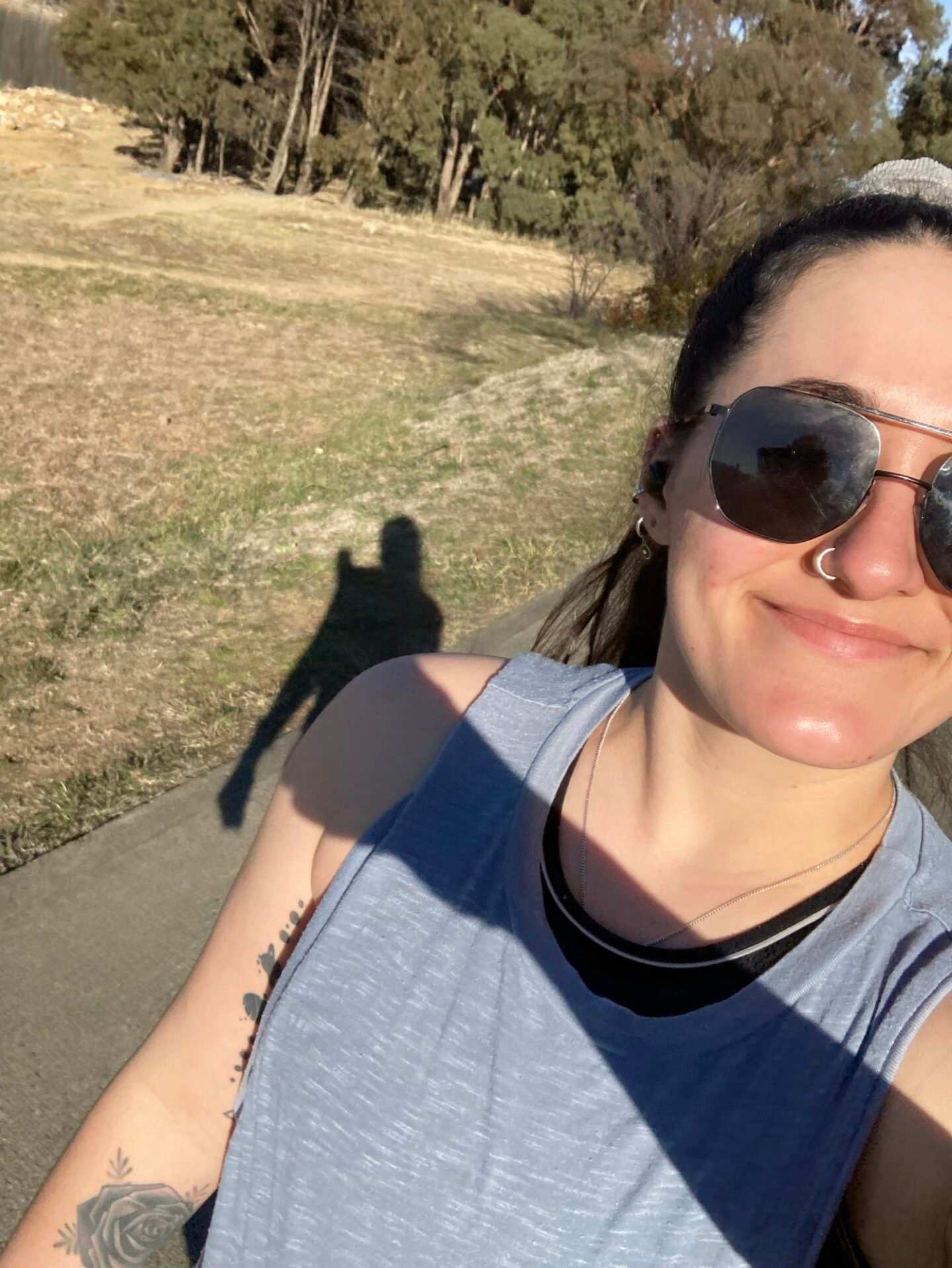
If you want a bit of a harder walk with fewer people around, but the same stunning views of the Lake, try the Tyrolean Village Shared Trail or the Hatchery Bay trail. The Tyrolean Village Shared Trail extends over the dam wall for 10 km and winds up and down moderate hills, all with sensational views over the Lake and Mountains. The Hatchery Bay trail is similar in that it offers sensational views over surrounding farmlands, all while winding around the stunning Jindabyne Lake.
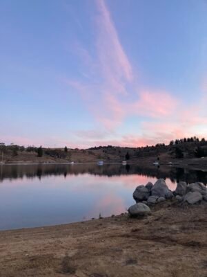
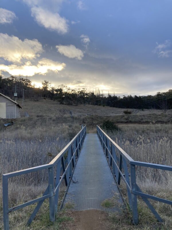
My favourite walk in all of Jindabyne is a lesser-known walk, starting at Pooh Bay (nope, that wasn’t a spelling mistake- it’s actually called Pooh Bay). To get here, head to the junction between Townsend Street and Cobbon Crescent. You’ll see a large opening to the lake, with a sign pointing towards the start of the mountain biking trail. Follow this trail along the lakefront, through the trees, over the rocks, and over three separate bridges until you come to a small building. Here, you can continue to twist around the lake and over towards the dam or head back.
This walk was a near-daily experience for me while living in Jindabyne, as it started at the bottom of my street and was almost always empty. It was beautiful at all hours of the day, with nice shaded areas to keep you cool during warmer days, and sunny spots to keep you warm during the cold ones.

Hiking Mount Kosciuszko
Possibly one of the most popular walks to do in Australia, the iconic Mount Kosciuszko walk is one that draws people from all over Australia all year round.
And it’s easy to understand why when you’re standing on top of Australia at 2,228m and enjoying panoramic 360-degree views over the mountains.
In summer, the easier way to reach the peak of Australia’s tallest mountain is to ride the chairlift at Thredbo and follow the cattle grate to the top. This summer-only track begins at the top of the Kosciuszko Express chairlift at Thredbo (fees apply). It runs beside the rocky outcrops of Ramshead Range and passes through alpine herb fields wildflowers and beautiful landscapes to Kosciuszko lookout for 6.5km (13km return). Cross the headwaters of the Snowy River, then climb to a saddle above Lake Cootapatamba before continuing past Etheridge Range to Rawson Pass. It’s a gradual 1.7km climb (40 mins) along the Summit trail to reach the top of Mount Kosciuszko. Return the same way.
The longer summit walk begins in Charlotte Pass and takes six to eight hours to return. In winter the walk is snowbound and unmarked, but you can cross-country ski or snowshoe the route.
This walk follows the old road to Mount Kosciuszko, which closed to public vehicles in 1976 due to safety and environmental concerns. Pass through snow gums, heath and herb fields and enjoy expansive views of the Main Range. Cross the famous Snowy River and climb the winding trail to Seamans Hut, which was built in 1929 as a memorial to skiers Laurie Seaman and Evan Hayes. Continue to Rawson Pass, a good rest stop with toilet facilities, before you climb the last 1.7km Kosciuszko National Park: Thredbo–Perisher walking tracks 2 to the top of Kosciuszko, Australia’s highest mountain. Soak in the 360˚ views and fresh alpine air, refuel with a snack, and wallow in your sense of achievement, before returning the way you came.
It is important to note that even in summer, Mount Kosciuszko is susceptible to snowfall, and can be quite cold, wet, and icy. Make sure to check the weather before attempting the walk and ensure you are prepared for any weather event.
While these walks can be done in other seasons, it is only recommended to attempt them with the right gear (snowshoes, skies, etc) and if you are experienced with hiking and navigating in winter due to the heavy snowfall and icy conditions.
Hiking in Jindabyne All Year Round- Main Range Walk loop
Experienced hikers can take the more challenging Main Range Track to reach the summit of Mount Kosciuszko. This is the 22km loop that passes glacial lakes and historic huts to reach the summit of Mount Kosciuszko, before returning to Charlotte Pass. It is not uncommon for people to split the walk over a few days and camp in the backcountry.
In spring and summer, the Main Range walk and Mount Kosciuszko summit trail are linked as a loop walk. It’s best walked in an anti-clockwise direction, so the final section heads downhill along the summit trail.
The hike starts at Charlotte Pass. Here, you’ll descend Main Range to the Snowy River. If water levels are safe, rock-hop across the river, then climb the track past Hedley Tarn lookout, to Blue Lake lookout. The track then climbs Carruthers Peak, which has dramatic views of the Western Fall Wilderness and beyond.
Continue along the exposed ridge of the Main Range, above Club Lake and Lake Albina. The track meets the summit Mount Kosciuszko trail before you reach Rawson Pass. Turn right to climb to the top of Mount Kosciuszko, or left to head downhill to Rawson Pass.
Return to Charlotte Pass via Mount Kosciuszko summit trail.
Porcupine Rock Track
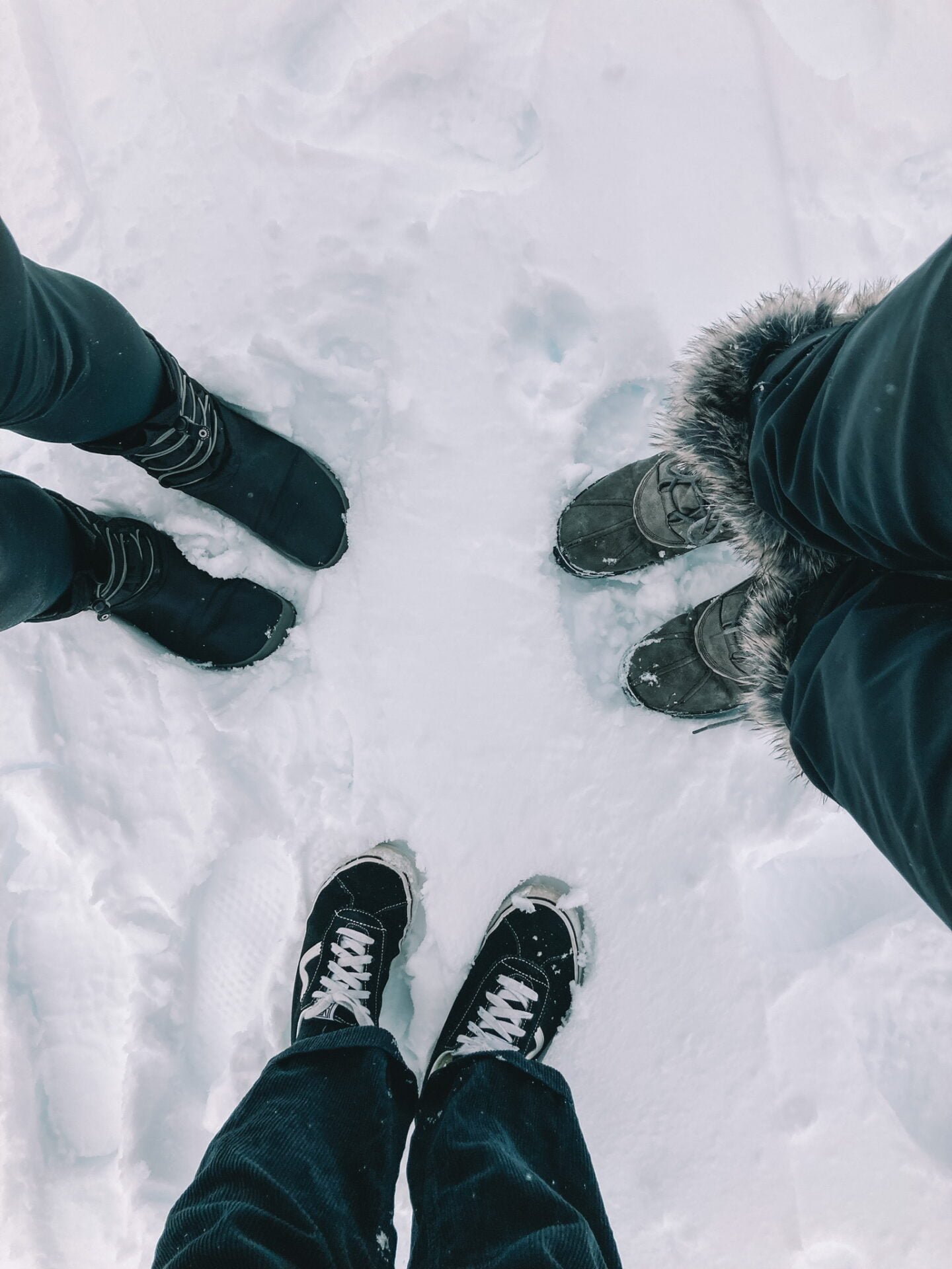
The Porcupine Rock track is a popular winter snowshoeing track but is absolutely stunning when done in other seasons too. It is a grade 3 trail with approximately 5km return.
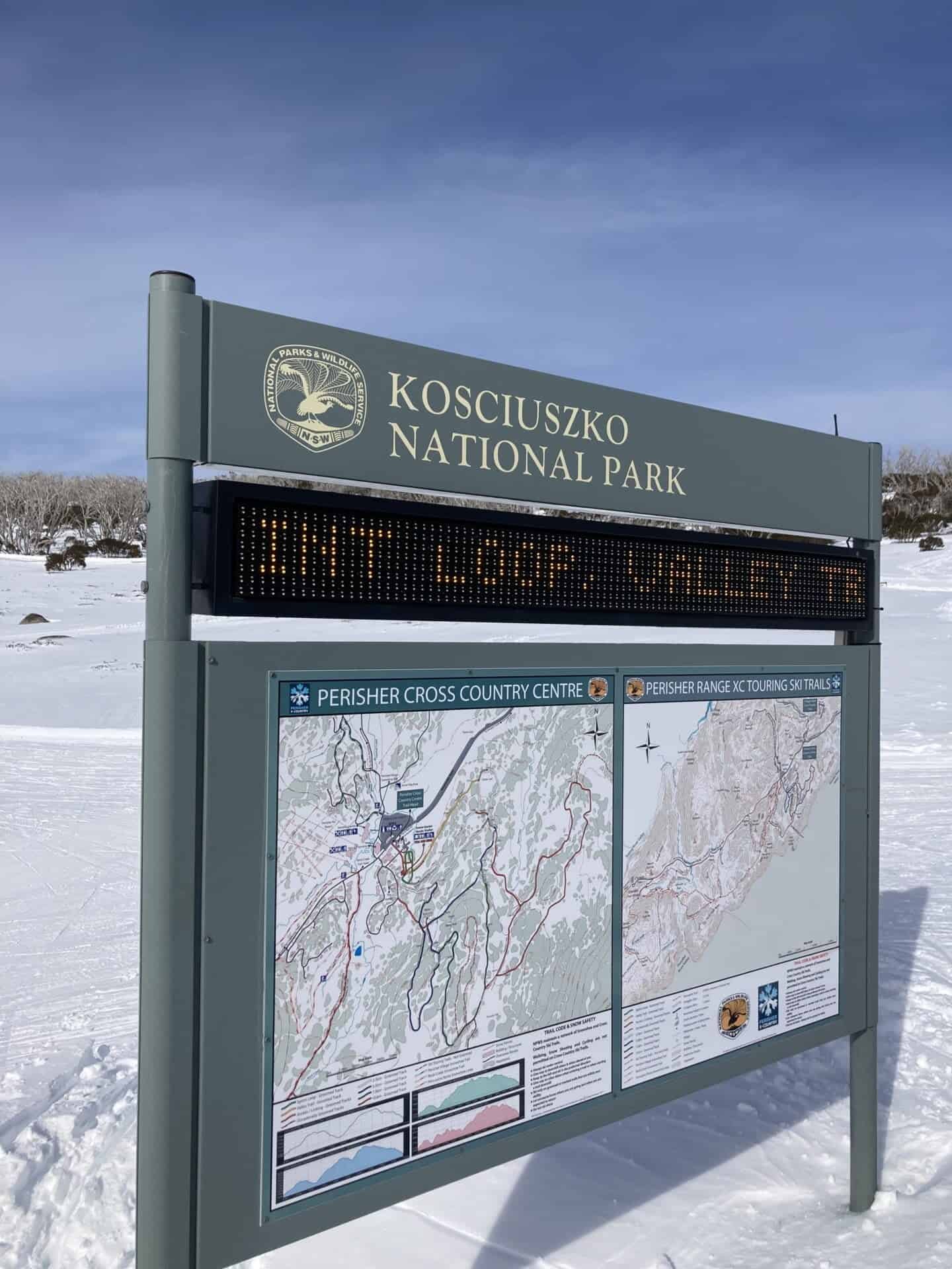
The track starts at Perisher Valley, beside the Man from Snowy River Hotel. You’ll see snow poles marked along the ground, but if you have problems finding them, you can always ask the staff within the National Parks building or Wilderness Sports.
The Porcupine Rock Track wanders through snow grass, snow gums and small shrubs until a large group of granite boulders is reached. These boulders provide an extensive view of Main Range and Thredbo Valley all the way down to Bullocks Flat.
The walk is popular in winter for its beautiful sunrise views.
Travelling to Jindabyne in winter? Check out my recent post: Your Jindabyne Winter Bucket list

Hiking in Jindabyne All Year Round- Rainbow Lake
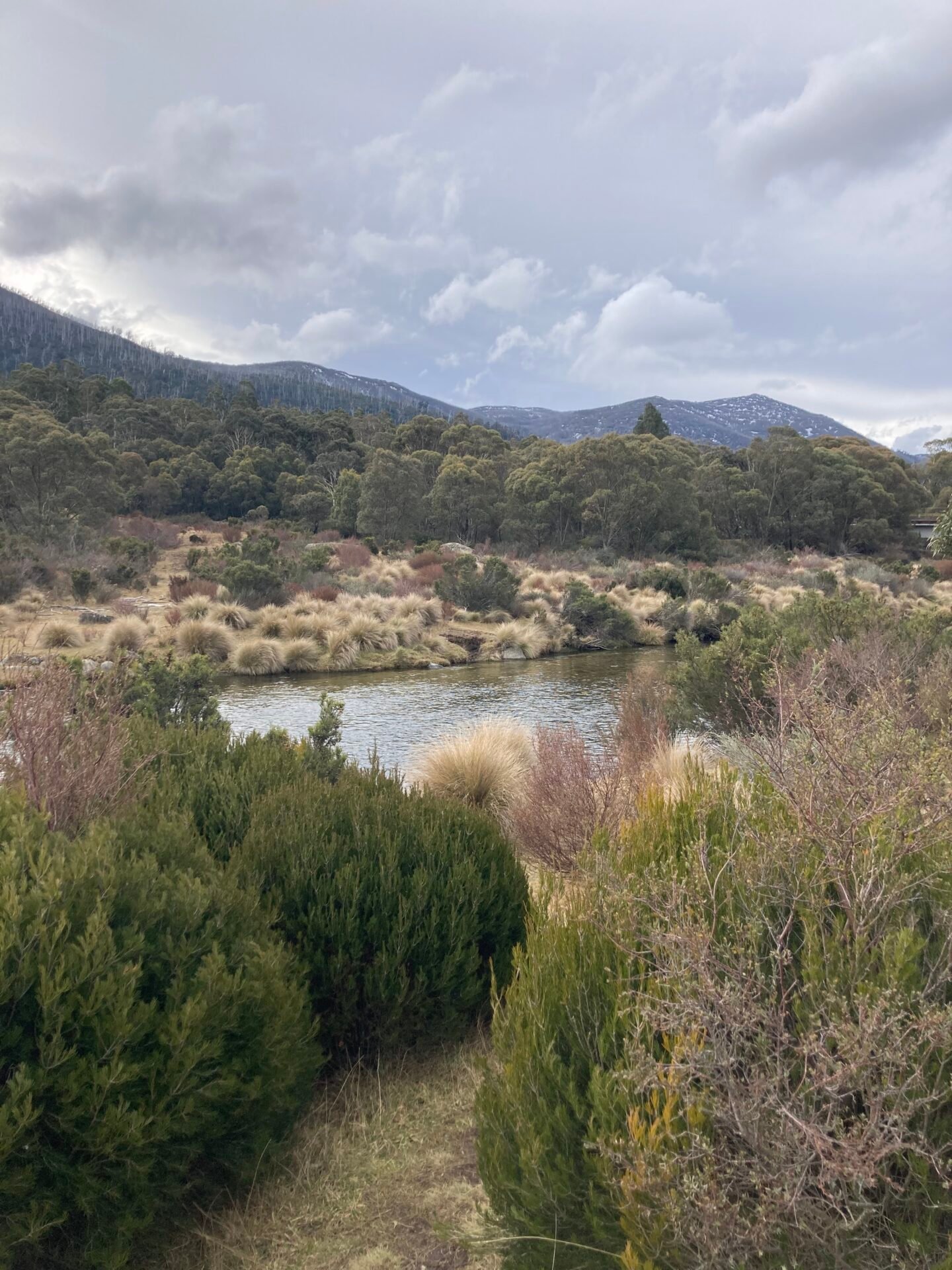
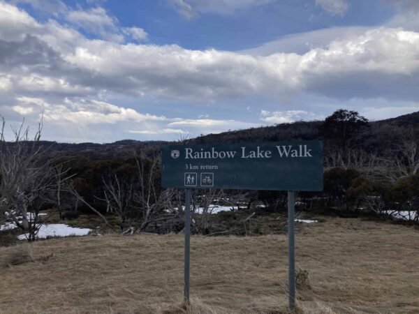
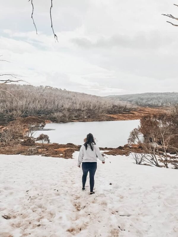
Rainbow Lake was one of my favourite walks to do in Jindabyne, and it is a hike that can be done all year round. While it is recommended that Rainbow Lake is grade 3, I would say it is only so if there is snow on the ground. It is an easy 3km trail with very few incline areas.
The track begins at a gate on the left side of the road towards Perisher around 1.5km past Sponar’s Chalet and near Dainer’s Gap. The track winds through snowgrass and snow gums to Rainbow Lake. While there is likely to be snow in winter, if you are wearing winter/ waterproof boots with a solid grip on them, it will be fine to do.
The lake is a dam that was constructed to supply water to the Hotel Kosciusko. Sponar’s Chalet was the staff quarters for the hotel and became the main accommodation building when the Hotel Kosciusko burnt down in 1951.
When the lake comes into view, it is a nice area to set up a picnic or sit for a while, admiring the view, or you can venture down closer to the lake and wander around it. The choice is yours.

Thredbo Valley Trail
When hiking in Jindabyne, one of the most popular walks you can do all year round is the Thredbo Valley Trail. The Thredbo Valley Trail itself covers 25km, running from the base of the Thredbo village down to the Trout Hatchery, and then another 9km along the Hatchery Track and past the Claypits back to town.
The great thing about the trail is you can walk the entire length, or you can walk smaller sections based on your fitness and time limitations. It’s totally up to you. You can start at the base of Thredbo Ski Resort or just outside of Jindabyne. Or, if you are like me, you can start the trail at random intervals, such as the Trout Hatchery. We pulled up there and enjoyed a 5km walk along the river through the bush, before turning around again. From here, there are several longer walks you can choose to do, such as an 8, 10, or 15km walk that will take you to different lookouts along the river. The Trout Hatchery is a great spot to visit to learn about how the fish are bred and raised, or to have a picnic in the stunning picnic area just beside it.
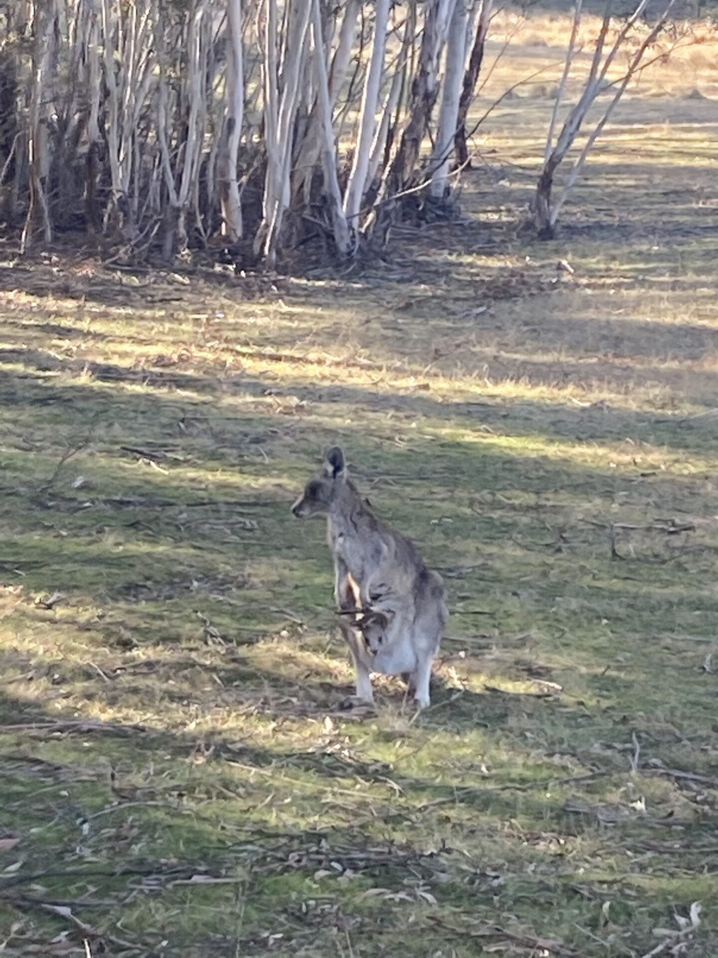
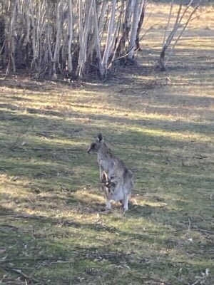
The Bullocks Flat/ Crackenback section of the Thredbo Valley Trail is another popular section to start walking from. The trail starts at the Perisher Ski Terminal (Bullocks Flat) and heads to Thredbo Diggings Campground. The walk is one of the best in the area for wildlife lovers or those who are keen on a flat, leisurely walk, and it can be done all year round. The best way to start the trail is by heading to the historic Bullocks Hut, which was built in 1934 for use as a fishing lodge (just off to the right of the Bullocks Flat Terminal). It is very likely you will see lots of kangaroo, deer, and wombats along the way!
It is important to keep in mind that whilst the entire trail is open to hiking year-round, many sections will be covered in snow during the winter months. The trail is also primarily for mountain bikers in the summer months, so please ensure you are giving way to bikers if you are planning on doing the hike.
Hiking in Jindabyne All Year Round- Pallaibo Walking Track
The Pallaibo Walking trail is another popular hike to do from Jindabyne all year round. It is approximately 5.5km one way, connecting the Sawpit Creek Picnic area with the Thredbo River picnic area. Most visitors start from Sawpit Creek and arrange to be picked up from the Thredbo River picnic area, as there are no loop options. The track is beautiful, winding through dry eucalyptus forests, passing falls and cascades, around creeks and bushy areas with an abundance of Australian flora and fauna.
Wildlife you can spot along the way includes wood ducks, flame robins, crimson rosellas, Australian magpies, wedge-tailed eagles, rock wallabies and kangaroos, deer, wombats, echidna, and even platypus.
Travelling to Jindabyne in winter? Check out my recent post: Your Jindabyne Winter Bucket list



Like this post? Why not check out some of Australia’s other great hikes!
Your Jindabyne Winter Bucketlist
Hiking Nandroya Falls in North Queensland
The Ultimate Outback Australia Road Trip
Hiking Kings Canyon in Outback Australia- Is It Worth It?
12 Place First-Timers Need to Visit in the Atherton Tablelands, NQ






Leave a Reply